
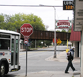
Access to Commercial Goods and Services: Improve access to goods and services via walking, biking and transit.
THIS POLICY SUPPORTS GOALS:
THIS POLICY RELATES TO TOPICS:
THIS POLICY RELATES TO IMPLEMENTATIONS:
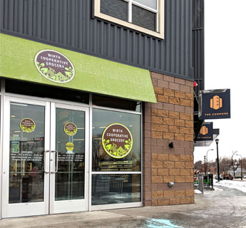
Today, 90 percent of passenger miles traveled in Minneapolis are in personal automobiles. While a portion of these trips are to school and work, residents in many parts of the city have no choice but to drive long distances to access regular goods and services such as grocery stores. Nationally, 45 percent of daily trips are taken for shopping and errands. In most of Minneapolis, demand for retail is much higher than supply, indicating an opportunity to make retail more convenient for everyone and thereby reduce car trips and greenhouse gas emissions. The city also has 11 low-income census tracts in which residents live more than a mile from a full-service grocery store.
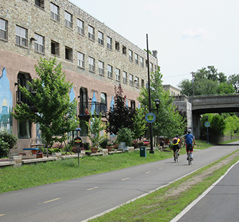
Achieving the City’s goal of an 80% reduction in greenhouse gas emissions by 2050 requires reducing the number of daily car trips by 37%. This ambitious goal is possible only if more people have access to daily needs via frequent, fast, and reliable transit. Building more housing near transit provides the opportunity for people to live without a car, or with fewer cars in each household, helping to work toward a carbon-free future.
This will help achieve the City’s greenhouse gas reduction goal, improve health through increased physical activity, and enrich the quality of life in our communities. The Future Land Use map allows or requires commercial activity, while the Built Form map allows greater development intensities in areas that have or will have frequent and fast transit connections and high-quality bicycling and walking facilities as outlined below:
|
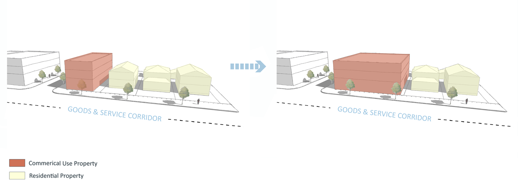
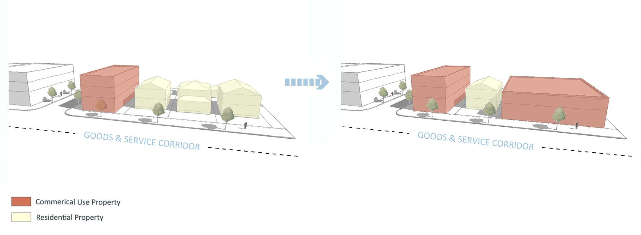
Increase access to Commercial Goods and Services by allowing multifamily housing on select public transit routes, with higher densities along high-frequency routes and near METRO stations; and by expanding opportunities for commercial activity particularly on certain corridors, while requiring commercial activity in with the greatest density, pedestrian traffic, and transit service. |
|
 |
Increase access to Commercial Goods and Services by allowing the highest-density housing in and near Downtown, while requiring commercial activity in locations with the greatest density, pedestrian traffic, and transit service. |
 ACTION STEPS
The City will seek to accomplish the following action steps to improve access to goods and services via walking, biking and transit.
- Allow commercial uses where they currently exist throughout the city.
- Designate additional areas for commercial uses in parts of the city where demand for retail goods and services exceeds the supply, and that are well-served by public transportation.
- Allow property owners to request expansion of commercial areas where such expansion would improve access to goods and services via walking, biking, and transit.
- Require commercial retail to be incorporated into new buildings in select areas of the city with the highest residential densities, highest pedestrian traffic, and most frequent transit service.
- Allow for increased housing supply within and adjacent to Commercial areas.
- Allow a full range of uses in Commercial areas intended to provide goods and services to surrounding communities.
- Utilize regulatory tools to minimize the impacts that commercial uses have on nearby residential uses.
- Develop new analytical frameworks and tools to accurately track and study the dynamics of urban retail in order to guide the development, revision, and deployment of City programs, tools, and regulations.
- Allow production and processing uses in Commercial Mixed Use areas while controlling for potential negative externalities through building and site design.